Google Earth
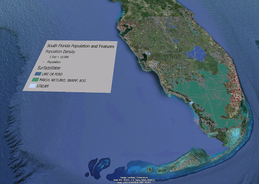
For this week's lab we were tasked with creating a dot density map of south Florida in Google Earth. The map also includes a KML file converted from ArcGIS pro of the different surface water features in south Florida. Above is the map I created. The next task we were assigned to do was record a tour going to multiple cities in south Florida to show the 3D models of buildings. For the recording I assigned place marks to easily hop city to city without dragging map around and zooming in and out.


No comments:
Post a Comment