GIS Day Family Presentation
For my GIS day I conducted my own event at my house with my family and girlfriend. The event took place in my living room and the format of the event was an informal discussion. The topic for my GIS day event was Carrers in GIS, I felt like I always struggled to explain to people what my degree was and what GIS was, so I took this time to try and explain what GIS is and what careers I could possibly work in or with in my future of pursuing a GIS career.
GIS Day:
Organizations across the globe are increasingly relying on GIS and location intelligence to make better decisions. As a result, careers in GIS are in demand more than ever. Equipped with data visualization and spatial analysis skills, GIS professionals qualify for occupations in countless fields. Some examples of these fields are Climate Scientist, Conservationist, Forester, GIS Manager, Health Geographer, and app developers.
-Climate Scientist- The National Climatic Data Center uses the world's largest climate data archive to provide climatological analysis to all sectors of the economy. Using these climate archives allows us to better understand climate and the future change for climate change. In GIS we can use maps to show temperatures of the atmosphere and ocean to better track climate using weather stations on ground but also satellites using thermal imagining. Some other examples of GIS use for climate include drought prediction mapping and tracking ice loss in the arctic region to better predict climate change in the lower atmospheres.
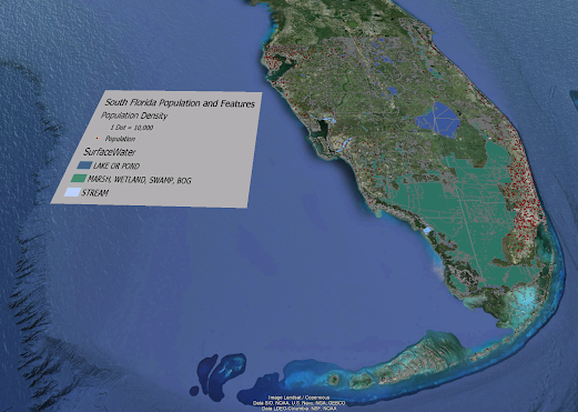
-Conservationist- Conservationist travel the world using data collection and mapping technology to identify and preserve national parks for future generations. Natural ecosystems around the world are beginning to collapse. These ecosystems are losing species, water areas for these animals, and overall, their ecosystem is beginning to collapse due to human encroachment of their land. These ecosystems need to be protected and GIS has been an aid to helping these ecosystems. Conservationist while in the field collect data and using GIS to create maps for the that data begins to show patterns of what is happening in that ecosystem to help the conservationist understand that ecosystem and how to help aid in finding solutions to help the ecosystem out in the future.
-Forester- Foresters manage the use and development of forests and natural resources, using GIS technology to improve the lands health and productivity. Foresters collect the data for forest areas and using GIS they can collect data from trees in the area and get a better spatial representation of the area that they are working in. GIS can also help the foresters better plan for a management strategy for the area in interest.
-GIS Manager- GIS Managers leverage location technology to plan, assist, and improve their cities. GIS is a combination of maps and technology; it allows people to look at and analyze anything in the world spatially. The power of GIS is the information behind the map such as ownership of land, size of land parcel, soil types, and also determine whether a certain area of property is a good location for a developer. GIS managers can work with multiple organizations in cities to help organizations use GIS in their work to determine better actions to take for their projects.
-Health Geographer- Health Geographers deploy a powerful combination of GIS, remote sensing and GPS technologies to prevent diseases and stop them from spreading. GIS can be used in health to provide hospitals where there are high populations, to plot where diseases begin to contain the spread of certain diseases and deploy counter measures to help these communities who need vaccines or other health measures.
-App Developer- App Developers and Computer programmers are problem solvers, using coding to build interactive web maps that visually represent geographic data. App developers and computer programmers use geospatial data from GIS programs and turn them into interactive maps using code that the public can use online such as google maps and apple maps or even more specific maps such as what colleges are offering certain majors and narrow the list of colleges down to colleges that specifically offer the major, you're looking for.
This was my GIS day activity I presented to my family, and it has helped me explain better what my career field does and how it interacts with other career fields. I also believe that it showed my family how important this field is to society and how versatile the GIS field can be used and now fully support me in perusing this degree.